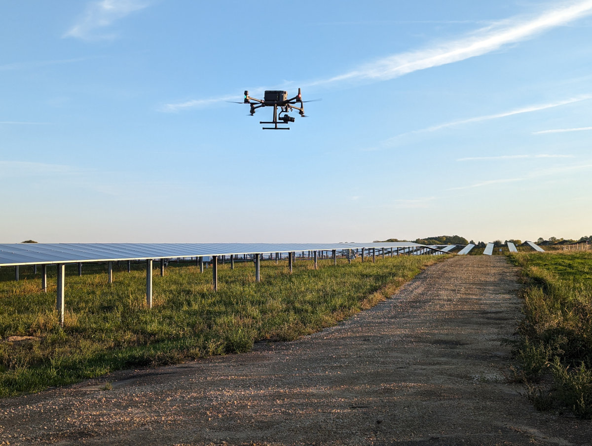
Unmanned aircraft offer a new, safe and cost-effective way to view things. We began specializing in commercial UAS/Drone Technology as a way to enhance our engineering services but it has quickly grown into its own full-service division offering professional flight services, aerial data processing and consulting to our clients. UAS/drone technology allows us to safely and efficiently view, document, and measure areas or structures in ways that are often more cost effective and safer than using traditional methods.
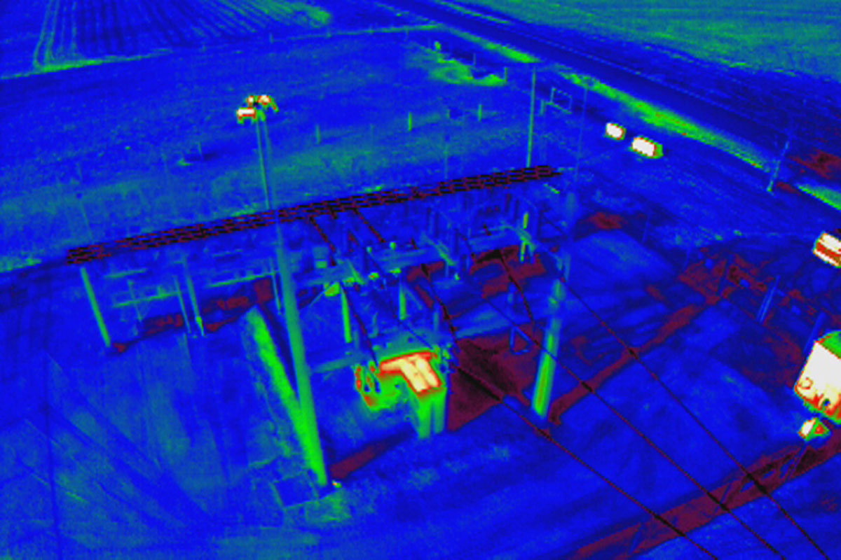
We deploy over 35 Part 107 Certified Pilots across the county utilizing commercial grade aircraft to collect high-definition aerial images and data. We can then process this data to create highly precise, georeferenced 2D maps and 3D models. We also utilize FLIR “thermal” imaging and video for analysis and specialty inspections.

Edge Consulting is proud to be a founding member of the UAS Advisory Network (UASAN, formerly the State of Wisconsin UAS Advisory Board).
Our UAS / Drone service offerings include:
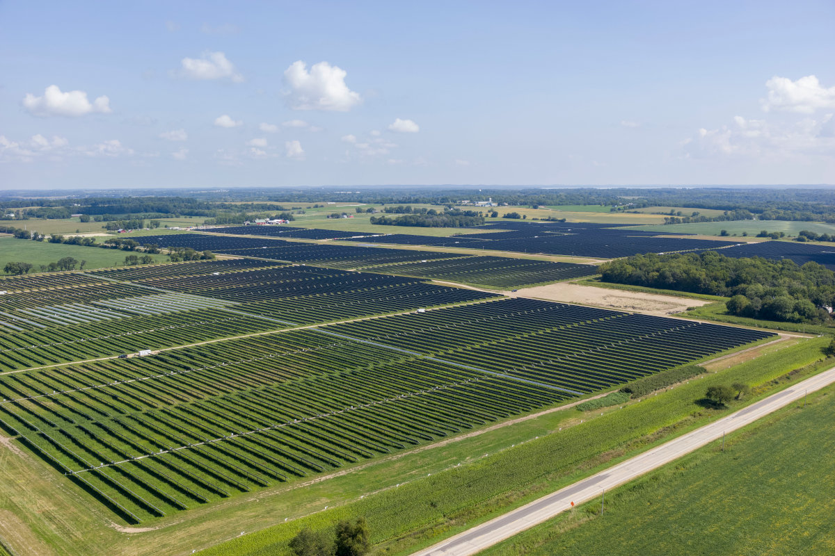
Professional Aerial Surveying and Mapping
- 2D/3D Mapping
- LiDAR Mapping
- Thermal Mapping
- DSM (Digital Surface Model)
- Contours
- Photogrammetry
- GIS Integration
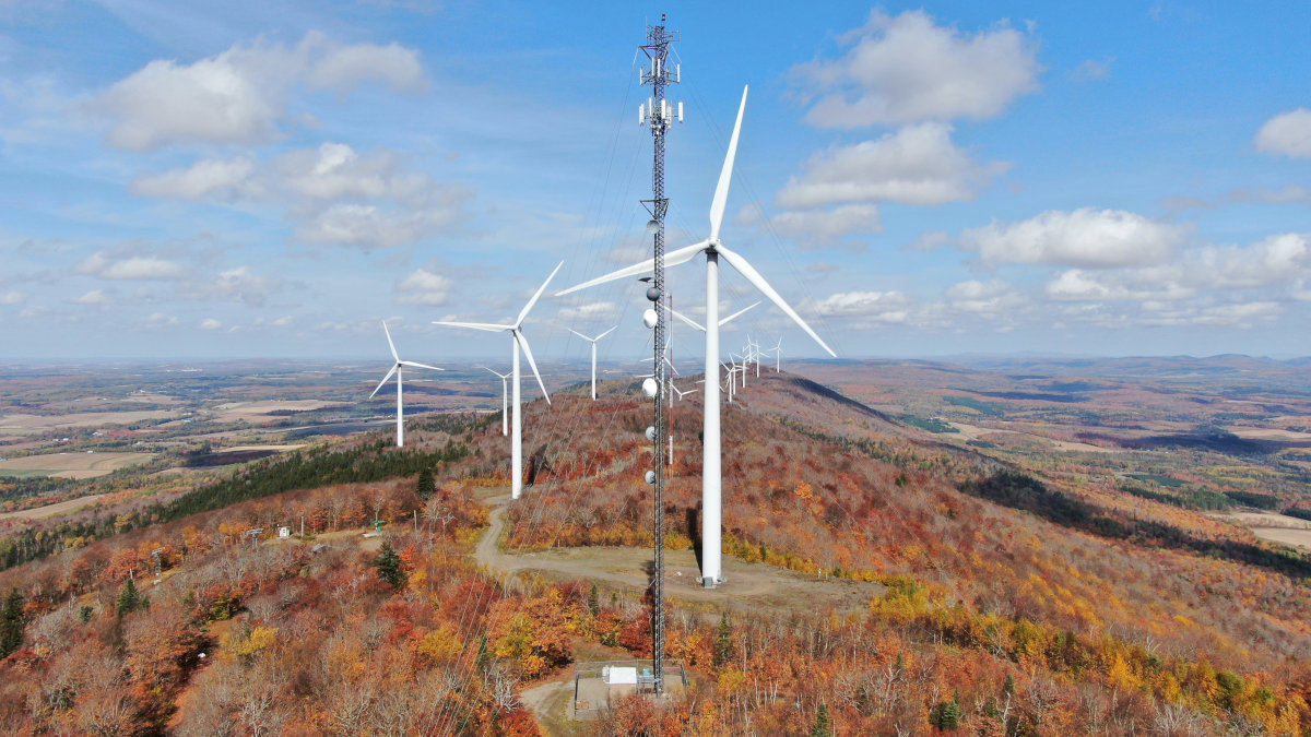
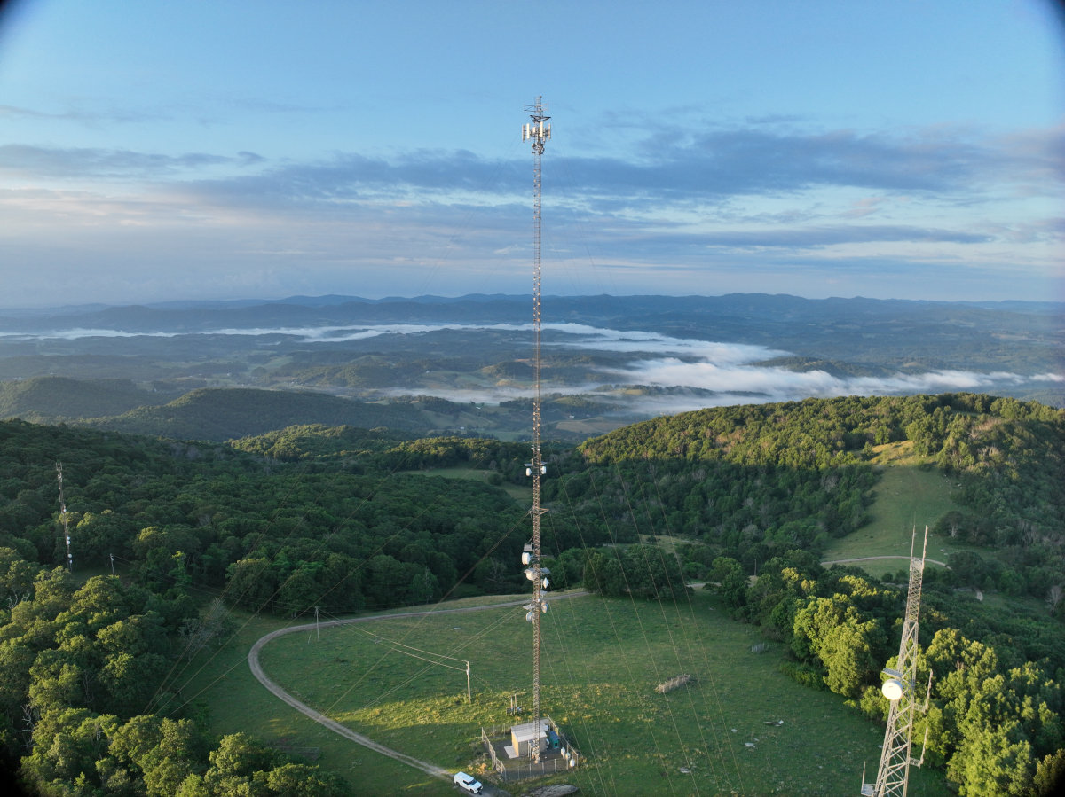
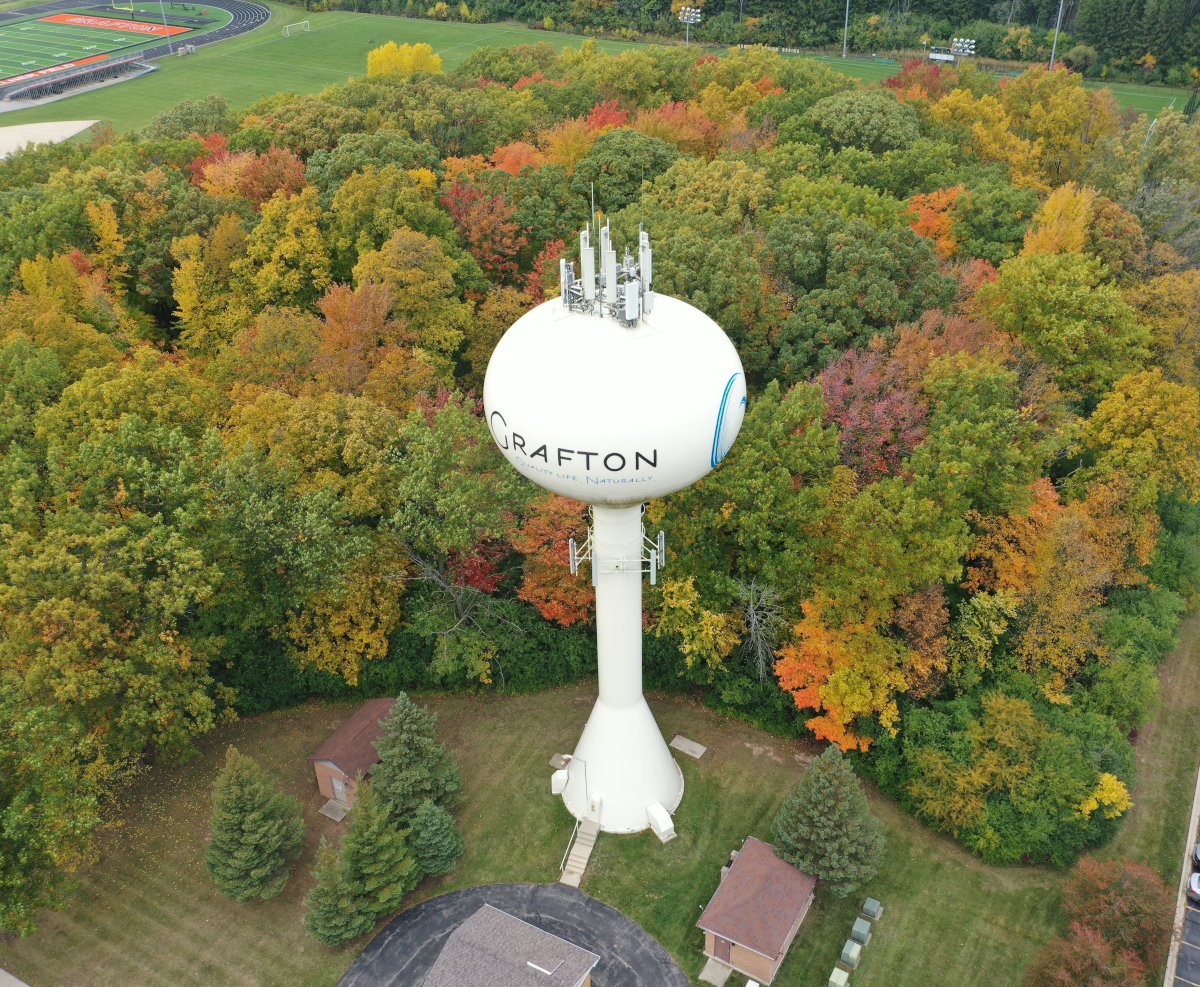
UAS/Drone Inspections
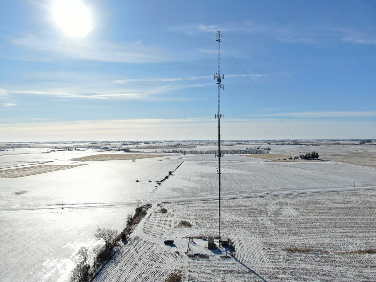
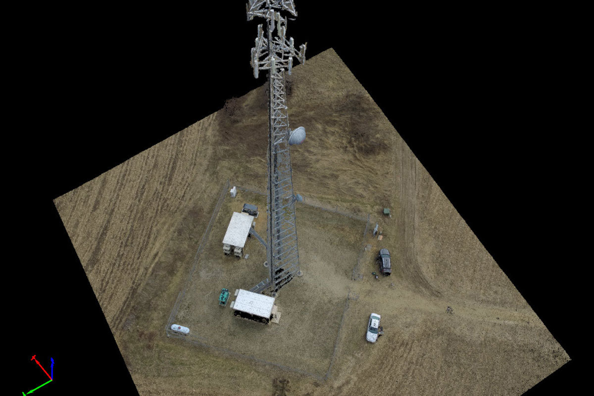
- Communication Towers
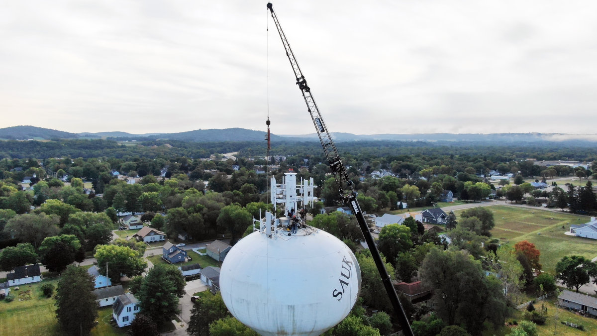
- Water Towers
- Buildings
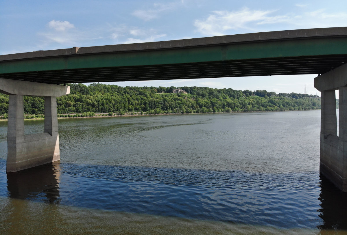
- Bridges
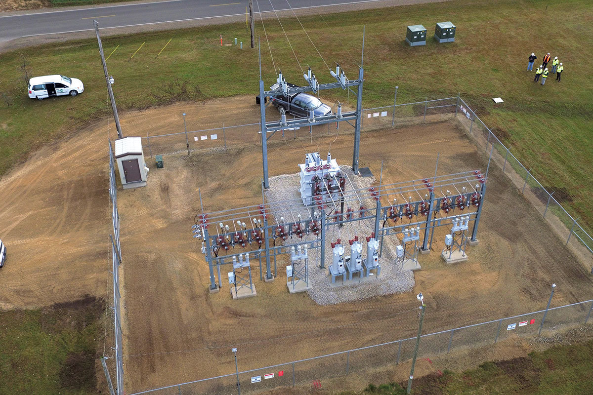
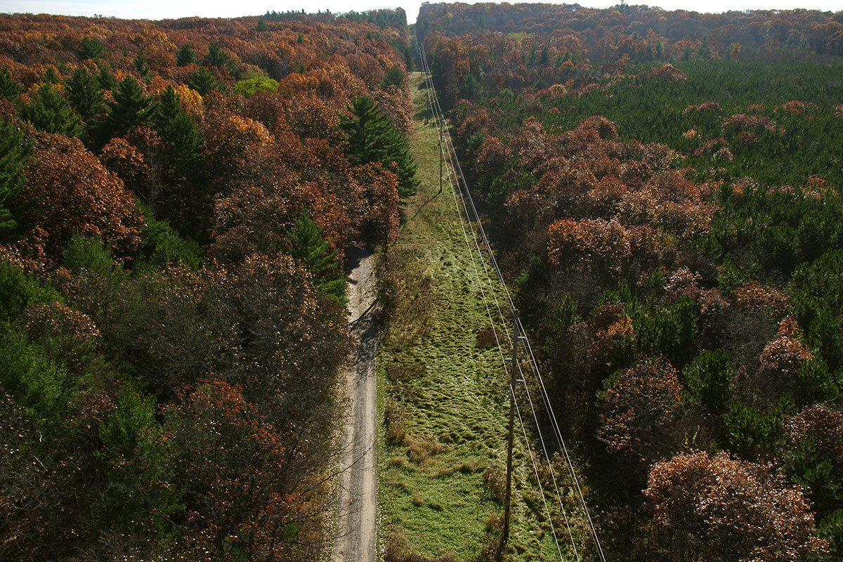
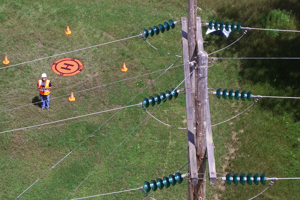
- Powerline and Substations
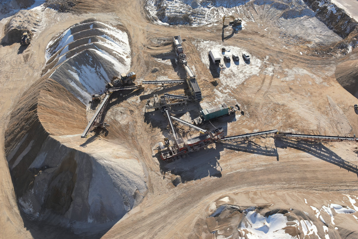
- Construction Site Monitoring
- Microwave Path Verification
DigitalTwins and 3D Modeling
- Communication Towers
- Water Towers
- Buildings
Environmental Surveys
- Migratory Bird Monitoring